Detailed description
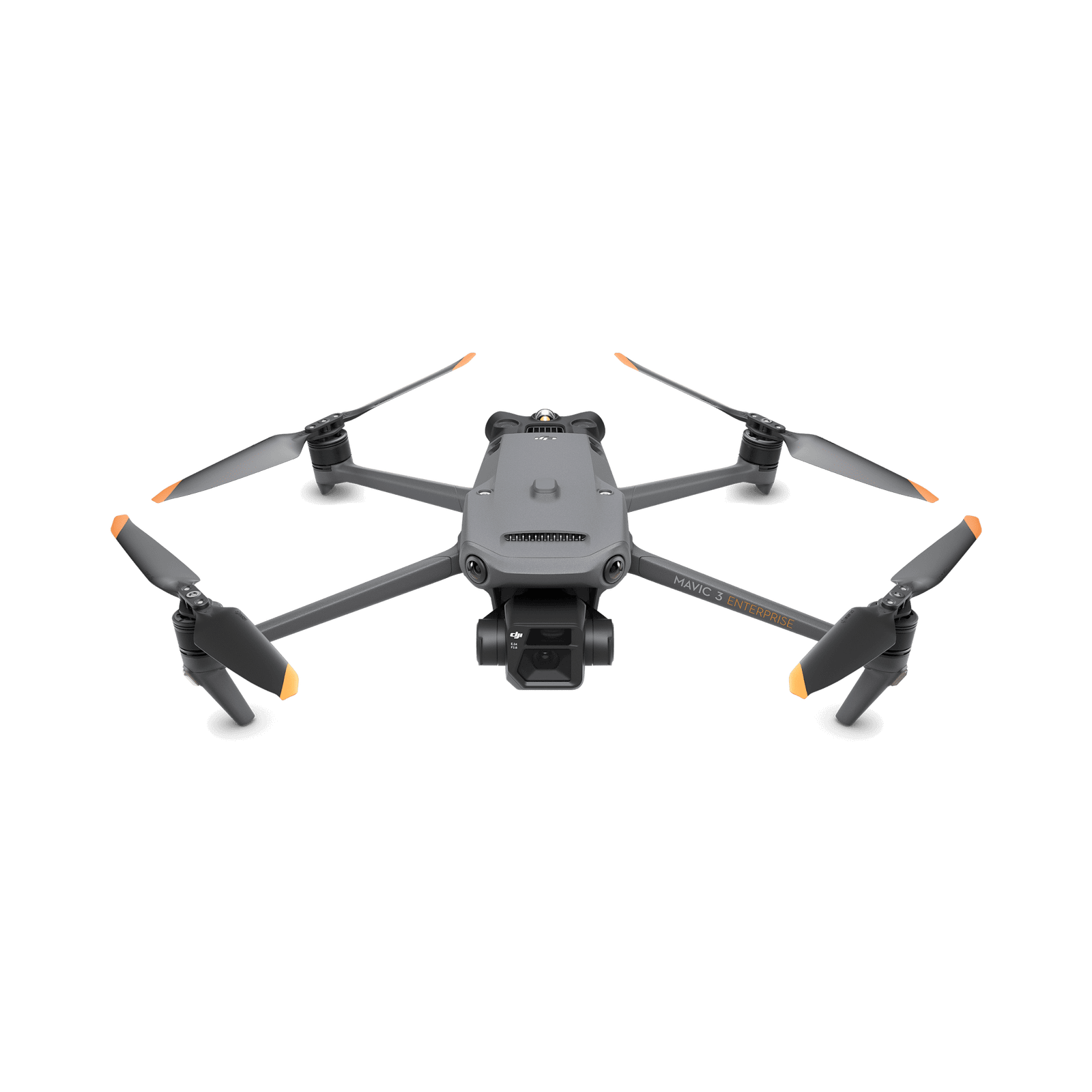
DJI Mavic 3 Enterprise is a mapping and inspection drone with a 4/3-inch sensor and a mechanical shutter.
DJI Mavic 3 Enterprise (Standard Set)
Its 20MP camera and mechanical shutter are useful for photogrammetry, where motion can distort image geometry. The folding body helps teams move between sites. Choose the configuration around required accuracy, coverage area and the software that will process the photographs.
Features and use
- 4/3-inch 20MP wide CMOS camera
- Mechanical shutter
- Tele camera for observation
- Support for an optional RTK module
- Up to 45 minutes in DJI tests
Choosing the configuration
Mavic 3 Enterprise, also called M3E, differs from the thermal Mavic 3T. For precise positioning, verify the RTK module, correction source and ground-control methodology. A Fly More label does not automatically include RTK or software licences.
This configuration suits buyers who prefer selecting additional accessories individually. Check box contents, controls and power before comparing the price with a larger bundle; the same model can be offered in different packages.
Maximum endurance is measured under controlled conditions. Wind, temperature, settings, payload and battery condition affect results; keep a reserve for returning and landing.
This offer specifies one battery. It suits shorter sessions or an existing equipment kit; plan spare power separately when you need several consecutive flights.
Getting more from this model
For photogrammetry, the value is a consistent set of sharp photographs, not just one impressive image. Plan overlap, altitude and lighting around the detail size that must be measured. A mechanical shutter reduces motion-related distortions associated with electronic readout, but cannot replace a suitable mission plan. Check coverage and sharpness before leaving the site. On a construction project, comparable repeat surveys help document progress; establish whether the client needs an orthomosaic, point cloud, 3D model or photographs before capturing the data.
Frequently asked questions
Does RTK alone guarantee model accuracy?
No. Corrections, a suitable coordinate system, processing and independent checkpoints are required when the project calls for verified accuracy.
Can it measure temperature?
A mapping version does not automatically include a thermal camera. Choose the dedicated variant and sensor for thermography.
Which software should I budget for?
The flight application and processing software have different roles. Confirm export formats, licensing and computer requirements for your intended output before choosing the bundle.
When choosing in Moldova, compare the complete configuration at DronExpert in Chișinău. The current MDL price and availability are shown on this product page.